 January 19, 2009 – Spanish researchers used a computer program able to
distinguish grapevines from other crops in satellite images.
January 19, 2009 – Spanish researchers used a computer program able to distinguish grapevines from other crops in satellite images.
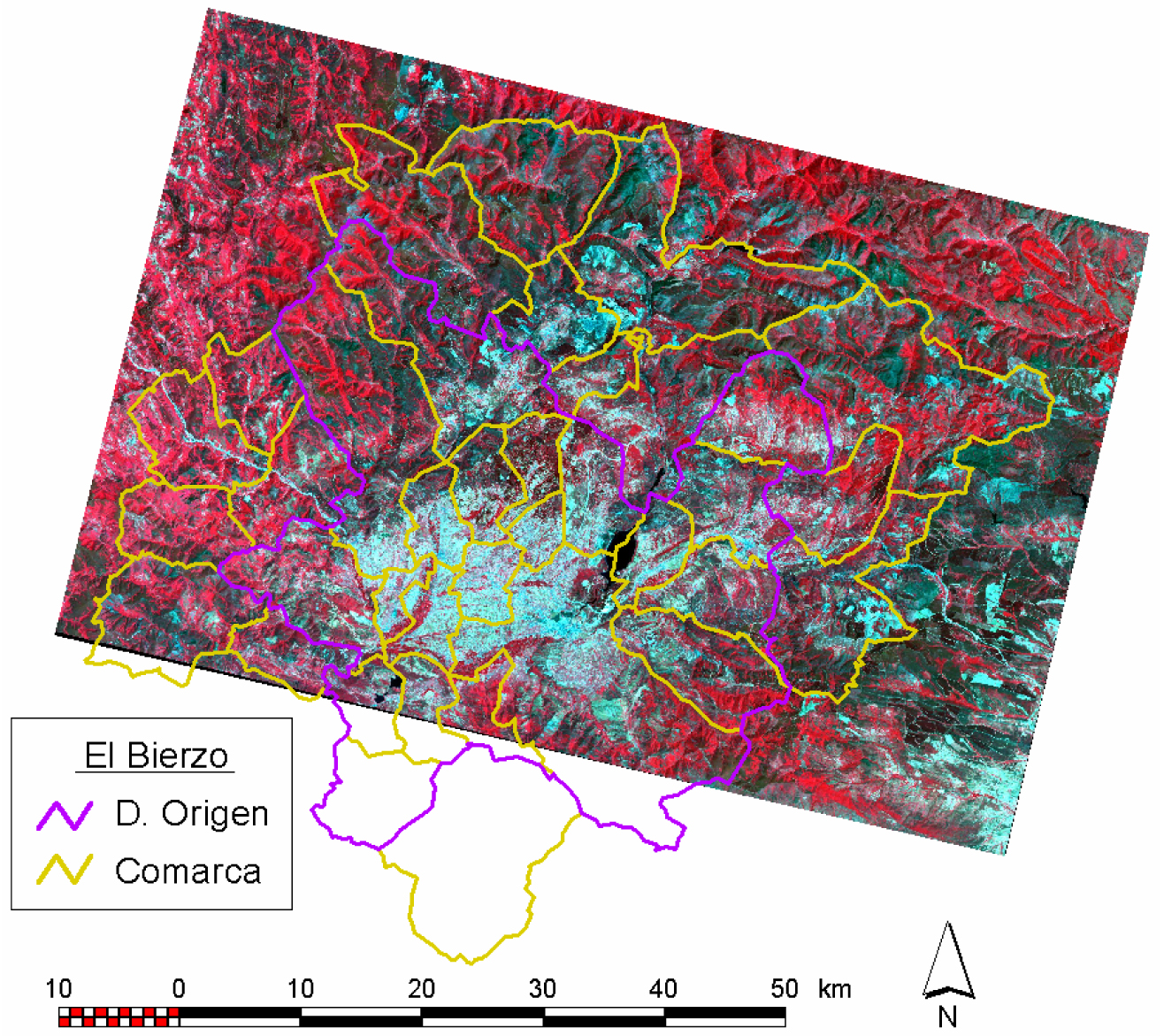
 The tool has been successfully used in the El Bierzo wine region of León, and can be used to calculate the potential wine production of an area under cultivation.
A team of researchers from the University of León (UL) and the University of Santiago de Compostela (USC) were able to carry out an inventory of vineyards in the El Bierzo designation of origin region by using a teledetection system.
Previously, vineyard area was checked by hand through tracing the borders of each plot on photographs.
“The new method is based on computerized analysis of the crops using digital images taken by a Landsat satellite”, explained José Ramón Rodríguez-Pérez, co-author of the study and an agronomist engineer at the UL.
The study, which has recently been published in the Spanish Journal of Agricultural Research, includes analysis of two photographs of the El Bierzo wine region. The photos were taken three months apart in order to compare the data obtained each time. After in situ validation in order to determine the margin of error, there was an 88 per cent success rate for those areas planted to vines.
This system can distinguish between up to 18 different types of surfaces in the images, including roads and areas planted to crops, including pasture, irrigated land, or forested areas, and can extract the area covered by vineyards from these.
The electromagnetic spectrum information in the photographic images obtained from the satellite can be separated into seven different bands. Once the image has been sent to Earth, the researchers apply a series of algorithms, which analyze the photograph pixel by pixel, identifying the 18 types of surfaces. In order to pick out the vineyards, the software needs to a series of test areas to be defined.
“We knew what kind of crop was in which area, and we created a pattern with the spectral characteristics of each,” explained the study’s author.
The program also differentiates between three types of vineyard – recently planted ones, those with a ground density of less than 35 per cent, and those with a density in excess of 35 per cent. In this case, the degree of precision is only 30 per cent, but Rodríguez-Pérez points out that new tools are being designed using high-resolution, spatial photography.
The researchers hope these will provide more exact results, but “as always they must be checked in the field – the teledetection system is not a final procedure in itself, but it does help make it easier to carry out an inventory of vineyard areas”, said Rodríguez-Pérez.
Print this page