Features
Production
Research
Vineyard monitoring goes high tech
GPS (global positioning system) and GIS (geographical imaging system) aren’t just for techies anymore
April 1, 2008 By Marg Land
GPS (global positioning system) and GIS (geographical imaging system) aren’t just for techies anymore.
 |
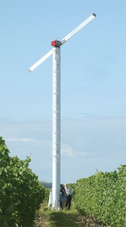
| One of several wind machines erected at Henry of Pelham Family Estate Winery. |
GPS (global positioning system) and GIS (geographical imaging system) aren’t just for techies anymore.
Kevin Ker and Ryan Brewster of Ker Crop Management Services Inc. (KCMS) have been applying the two technologies to help monitor and scout five vineyards in the Niagara region since May 2005. As the GPS equipment and software have become more reasonably priced over the past few years and as management software has become more mainstream in farming systems, KCMS decided to integrate and modify field-based GPS/GIS program technology with the company’s established paper-based vineyard scouting program.
“We were looking into the future because there’s so much paper,” said Ker. “It’s a mess.”
The first step for the consultants was creating an accurate base map of each vineyard site. Perimeter points were plotted following a standardized formula to include actual rooting zone areas of all the vines in the block. These points were then downloaded into the Farm Works – Site Pro software and lines were used to connect the different points. Once the blocks were defined, roads and laneways in the vineyards were marked in.
 |
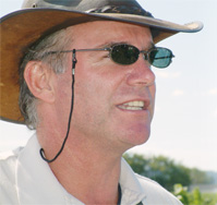
| Kevin Ker |
“We had to work with the software, which was originally set up for field crops,” explained Brewster.
The next step was to create database templates within the Farm Works – Site Mate software that would provide drop-down, pick-list menus that included all the pests and diseases associated with grape growing. With this development, as a scout monitored a vineyard, he or she could use a handheld GPS receiver to log a location in the field, choose a grape pest or disease plus the appropriate degree of incidence related to the pest.
“We can use each week of scouting as a layer and put it over the base map and use it to pinpoint problem areas in the vineyard,” explained Brewster. “We used to print up a written report that the grower then had to read through. Now we can present the data in a table form.”

|
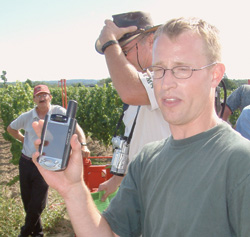
| Ryan Brewster |
As well, the use of GPS has allowed for greater accuracy in mapping problem areas in the field. “We can go right back to the spots where we saw problems and verify that’s what we saw. And other people can come to that exact spot as well.”
This same technology and data setup can be used to monitor soil quality and fertility. A base layer map can be created using defined soil sampling zones within the vineyard. Points can be logged at each soil sample site. After analysis of the soil samples, the soil data can then be imported into the software and organized into multiple layers, displaying information such as nutrient levels, soil structure, and pH. The same can also be done to help map soil compaction problem areas using a soil compaction meter.
 |
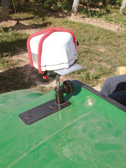
| GPS receiver erected on an off-road vehicle. |
This advanced technology has also allowed KCMS to develop other services, including creating topographical maps of vineyard locations, including latitude, longitude and altitude data for each point logged in the vineyard. Based on this data, elevation and contour maps can be created using Farm Works – Site Pro software. For more sophisticated and high-detail information, the point data can also be used to create contour and wireframe maps using Surfer 8 software.
KCMS has also used its GPS and GIS technology to monitor wind machine influences. The consultants mapped three rings radiating out from each wind machine, resulting in four different sampling areas:
A. 15-110 feet from the base of the machine
B. 111-225 feet from the base of the machine
C.226-350 feet from the base of the machine
D >350 feet from the base of the machine
Five cane samples were taken from each of the four zones with a minimum of 10 non-damaged buds.
The resulting data showed the “area of influence isn’t as great as we thought,” said Brewster. “There can be dead spots in-between machines.”
In light of this, KCMS is offering its services to help vineyard owners locate their wind machines in the optimum spot for their cultivars.
Brewster said the technological advances have provided growers with even more information to help them produce quality grapes. “This is just another layer of information that you can use to make a decision,” he said.
Print this page